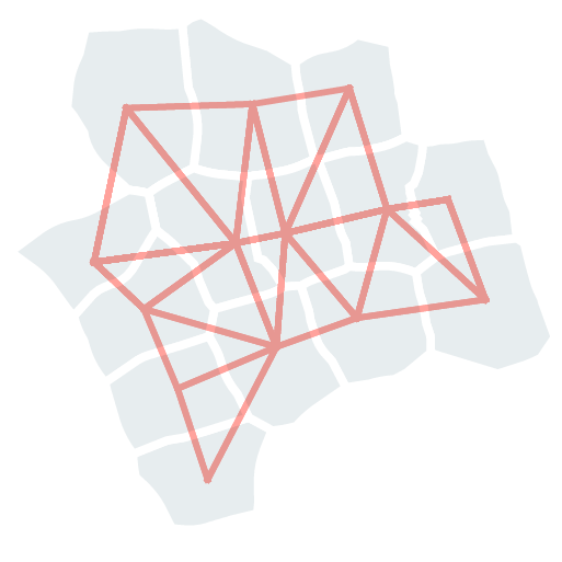
momepy.NeighborDistance(gdf, spatial_weights, unique_id)[source]¶Calculate the mean distance to adjacent buildings (based on spatial_weights)
If no neighbours are found, return np.nan.
GeoDataFrame containing objects to analyse
spatial weights matrix based on unique_id
name of the column with unique id used as spatial_weights index.
References
Schirmer PM and Axhausen KW (2015) A multiscale classification of urban morphology. Journal of Transport and Land Use 9(1): 101–130. (adapted)
Examples
>>> buildings_df['neighbour_distance'] = momepy.NeighborDistance(buildings_df, sw, 'uID').series
100%|██████████| 144/144 [00:00<00:00, 345.78it/s]
>>> buildings_df['neighbour_distance'][0]
29.18589019096464
Series containing resulting values
original GeoDataFrame
spatial weights matrix
Series containing used unique ID
__init__(self, gdf, spatial_weights, unique_id)[source]¶Initialize self. See help(type(self)) for accurate signature.
Methods
|
Initialize self. |